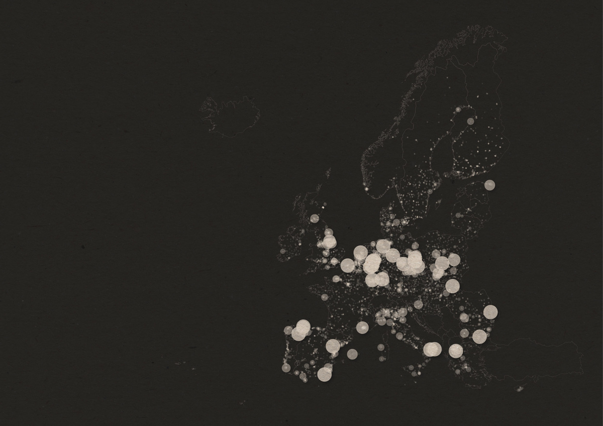
Spatial analysis
Analysis and decision support
Geographic analysis, selections and map material that provide traceable support for planning and decisions.
GISLab / Henrik Aldén
I help public-sector organisations, research projects and businesses turn geodata into analysis, maps and digital decision support.
What I do
I combine GIS, web development and clear communication to make complex information understandable and useful in practice.
Spatial analysis
Geographic analysis, selections and map material that provide traceable support for planning and decisions.
Digital tools
Data-driven interfaces and web maps that make results easy to explore, understand and share.
Collaboration
GIS expertise for projects where geography, research, energy planning and spatial development meet.
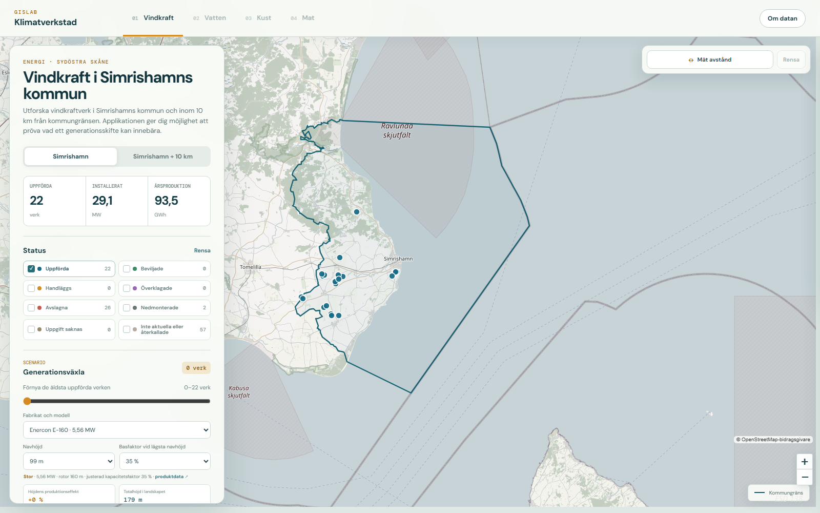
New decision tool · Climate Workshop
An interactive tool based on real wind turbines and geographic data. Compare today with a repowering scenario and explore how turbine model, hub height, landscape height and annual production change.
More projects
Two examples of analysis, communication and digital design working together.
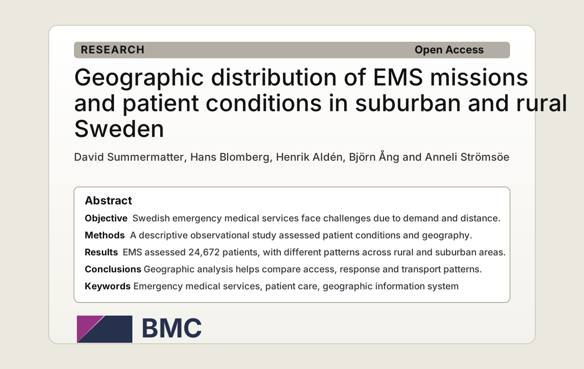
Research
I contributed to the geographical analysis and produced GIS analyses and heat maps for a scientific article about EMS missions in Sweden.
Read the article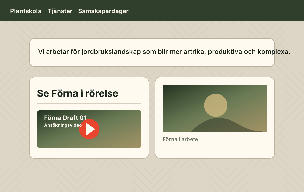
Website
I created Förna's website – a practical site with a simple web shop, references and contact details.
Visit the siteCollaborations
Contact
Tell me briefly what you need to analyse, understand, show or build, and we can start with a conversation.